Number of Territories: 42.
Number of Continents (Regions): 8.
The map:
- Click image to enlarge.

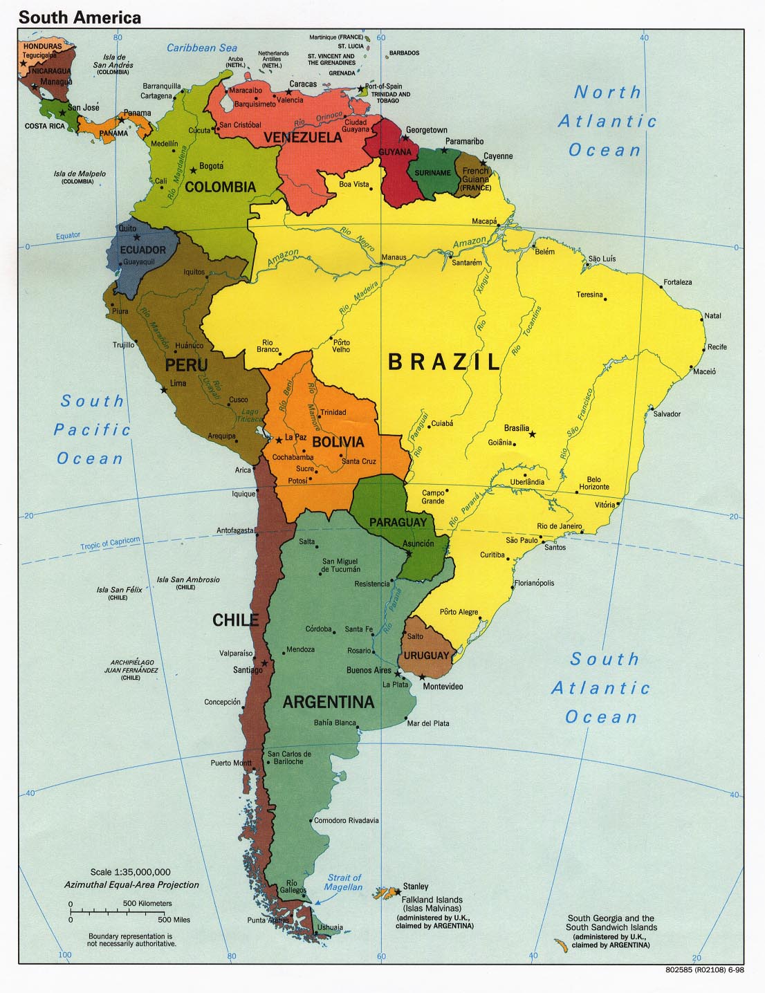
Descriptions: Peru is a rather diverse nation situated in an area which houses a Pacific coast, the Andes mountains, and the Amazon rainforest.
[*]The images currenty depict, in order from left to right, Miguel Grau (Peruvian naval hero), Ramon Castilla (Peruvian "Libertador" and iconic president), and Machu Picchu (Inca citadel built atop a mountain, recently voted as a "New 7 Wonder of the World").
[*]Made several updates as suggested. Specially focused on making the ocean better (made it more pleasing to the eye), and the mountain section (also more eye-pleasing).
[*]Legend is updated and runing effectively with the current map.
[*]Added 2 more territories to get the 42 as suggested.
[*]Currently working on: Mountains and rivers.
http://img159.imageshack.us/img159/8131/perumapgt0.png
[*]Added borders of other nations, as suggested.
[*]Improved the Andes mountains, as suggested.
[*]Made some corrections to the legend, as suggested.
[*]Improved the terrain, as suggested.
[*]Changed the font of various words to Comic Sans, and the font sizes are about the same. Note that some are larger or smaller depending on the territory's size, but most are around the same size.
[*]Gave ports their names.
[*]Improved the mini-map.
[*]Made the map less longer, as suggested. Note that Peru is in its actual position, the thing that makes it seem different is that I made it more wide in order for me to include the names of the territories. I've shrunk it in length (quite a bit) from the previous version.
Some questions
1. Should I count/make the ports individual territories (Not part of any continental bonus), or should they belong to a coastal territory in the map?
2. Not really sure what to do with the blank spot in Colombia. Any ideas? I've got some, but I'd like to see other opinions.
3. Are the font colors of the territories easy to read? If not, could you give a suggestion for color change of the fonts (not much I can do for the territories themselves by this point).
4. Any other suggestions? I know I have to fix the Legend, but first I'd need for the first question to be answered.
Version 2 (Previous): http://img509.imageshack.us/img509/7779/perusd4.png
[*]Removed the "Amazon" green lines and replaced it with rivers, as suggested.
[*]Made the river color more along the lines of the Pacific Ocean, as suggested.
[*]Eliminated a number of pictures in order to make the map seem less crowded, as suggested.
[*]Changed the colors to help the color blind, as suggested.
[*]Added a mini-map, as suggested.
[*]Improved the mountains, as suggested.
[*]Moved the colors around to better locations.
[*]Removed the port in La Libertad in order to keep things balanced, as suggested.
[*]Improved the bridges and included their description in the Legend.
Version 1 (Outdated):http://img185.imageshack.us/img185/9505/peruciudadesez1.png
[*]The map has a large part of an arm of the Amazon River splitting the map between west and east.
[*]There are bridges that connect territories adjacent to the river, but there is a section between Arequipa and Cusco that is open.
[*]The Andes mountains are also in the map, but represented by thick brown lines that give the center of the map a sort-of defensive wall.
[*]In the eastern section there are green lines that symbolize the Amazon rainforest, but the only one that really blocks territories is the one in between Urubamba and Atalaya.
[*]The major ports of Peru are symbolized by the Peruvian Navy's anchor symbol, and these are all connected in such a way that players from the south can make an easy move to the north through the coast.
[*]The major and most important cities of Peru are marked by little suns, which look more like red dots with a yellow border (which look nice as well).
[*]In order to symbolize the importance (and the increase in population) the player gets a +1 bonus for each city.
[*]Holding all of the ports gives a bonus, and holding all of the cities also gives a bonus.
[*]Please, if you want to give suggestions, also remember to try and give a solution to a problem you may see.
[*]Compliments would be welcomed.
Thanks in advance.


